September 1, 2023
Mapping Success for KMTA

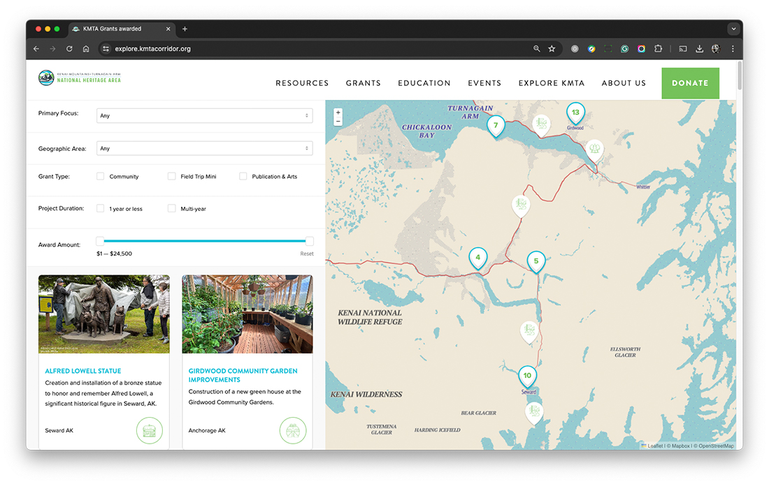
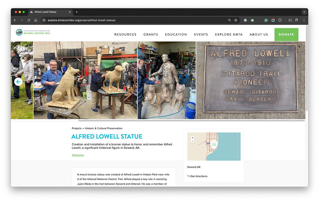
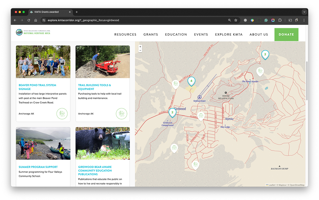
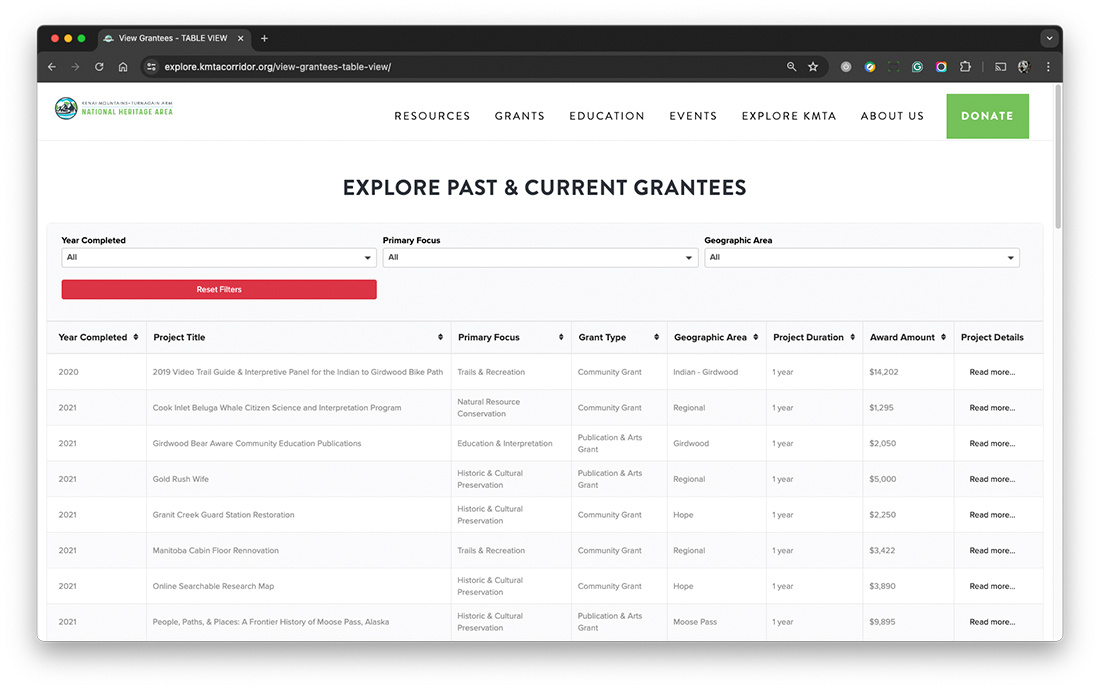
We recently worked with the Kenai Mountains Turnagain Arm National Heritage Area (KMTA) on a new maps project for their website. The interactive maps cover the Heritage Area from Indian to Seward and Whittier to Cooper Landing, highlighting the grants KMTA has awarded to support local organizations and projects. These grants are focused on preserving the area’s natural, cultural, and historic resources.
Explore the new maps pages to learn more about KMTA’s grants and how they are contributing to the region.


